Photogrammetry/MeshRoom


We start again with photographing with a normal standard camera
- from different angles around the object,
- from different heights of view and
- from different distances to the object.
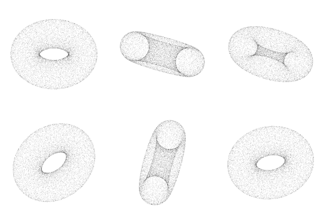
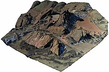
If we want to use photogrammetry on on object (e.g. building outside) it is recommended to avoid days with to much sunlight and shades, due to the fact that shades are backed into the texture of the 3D model. Meshroom as OpenSource software will create a sample workflow for Photogrammetry. This learning resource supports you in creating a point cloud from smaller object or even a Digital Elevation Models - DEM from several images. The learning resource is following the Open Community Approach, i.e. use Open Educational Resources to learn about Photogrammetry and the underlying principles. The application of Open Source software to accomplish the learning objectives from creating 3D models to optimization the OpenSource code of the underlying algorithms.
Learning Tasks
[edit | edit source]- Compare Regard3D, OpenDroneMap and Meshroom as software and define the use cases in which you would apply the open source for creating 3D models of the terain or building or smaller objects?.
- What are technical similarities and what are the differences between Regard3D, OpenDroneMap and Meshroom? Derive PROs and CONs for application for specific tasks.
- Feed a set of source images in all of the three photogrammetry softwares. Compare the resulting point clouds.
