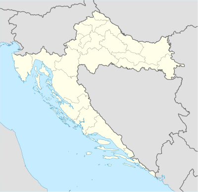
Template:Location map Croatia
Appearance
| name | Croatia | |||
|---|---|---|---|---|
| border coordinates | ||||
| 46.8 | ||||
| 13.1 | ←↕→ | 19.9 | ||
| 42.1 | ||||
| map center | Lua error: callParserFunction: function "#coordinates" was not found. | |||
| image | Croatia_location_map.svg | |||

| ||||
| image1 | Relief map of Croatia.png | |||

| ||||
| skew | 1.0 | |||
| lat_skew | 0.0 | |||
Template:Location map Croatia is a location map definition used to overlay markers and labels on an equirectangular projection map of Croatia. The markers are placed by latitude and longitude coordinates on the default map or a similar map image.
Usage
[edit source]These definitions are used by the following templates when invoked with parameter "Croatia":
- {{Location map | Croatia | ...}}
- {{Location map many | Croatia | ...}}
- {{Location map+ | Croatia | ...}}
- {{Location map~ | Croatia | ...}}
See also
[edit source]
