File:Chaldea - Map - The Countries around Chaldea.png
Jump to navigation
Jump to search
No higher resolution available.
Chaldea_-_Map_-_The_Countries_around_Chaldea.png (632 × 458 pixels, file size: 75 KB, MIME type: image/png)
| This is a file from the Wikimedia Commons. The description on its description page there is shown below.
Commons is a freely licensed media file repository. You can help. |
Summary
| Description |
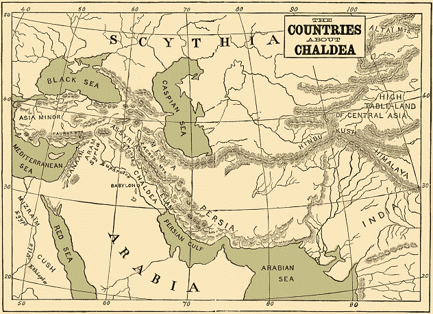
English: Map entitled The Countries around Chaldea |
| Date | |
| Source | The Project Gutenberg eBook, Chaldea. http://www.gutenberg.org/files/24654/24654-h/24654-h.htm |
| Author | Zénaïde A. Ragozin. No Map Credit. Publisher T. FISHER UNWIN, PATERNOSTER SQUARE, NEW YORK: G. P. PUTNAM'S SONS. MDCCCXCIII |
Licensing
This media file is in the public domain in the United States. This applies to U.S. works where the copyright has expired, often because its first publication occurred prior to January 1, 1929, and if not then due to lack of notice or renewal. See this page for further explanation.
|
 | |
 |
This image might not be in the public domain outside of the United States; this especially applies in the countries and areas that do not apply the rule of the shorter term for US works, such as Canada, Mainland China (not Hong Kong or Macao), Germany, Mexico, and Switzerland. The creator and year of publication are essential information and must be provided. See Wikipedia:Public domain and Wikipedia:Copyrights for more details.
|
File history
Click on a date/time to view the file as it appeared at that time.
| Date/Time | Thumbnail | Dimensions | User | Comment | |
|---|---|---|---|---|---|
| current | 19:52, 1 August 2012 | | 632 × 458 (75 KB) | Tagishsimon |
File usage
The following page uses this file:
Global file usage
The following other wikis use this file:
- Usage on az.wikipedia.org
- Usage on ba.wikipedia.org
- Usage on be.wikipedia.org
- Usage on el.wikipedia.org
- Usage on eo.wikipedia.org
- Usage on es.wikipedia.org
- Usage on eu.wikipedia.org
- Usage on gl.wiktionary.org
- Usage on he.wikipedia.org
- Usage on incubator.wikimedia.org
- Usage on ja.wikipedia.org
- Usage on ka.wikipedia.org
- Usage on mg.wikipedia.org
- Usage on pl.wiktionary.org
- Usage on ru.wikipedia.org
- Usage on tr.wikipedia.org
- Usage on tt.wikipedia.org
- Usage on vi.wikipedia.org
- Usage on war.wikipedia.org