File:Urban explorers.jpg
Jump to navigation
Jump to search
Size of this preview: 800 × 533 pixels. Other resolutions: 320 × 213 pixels | 640 × 427 pixels | 1,024 × 683 pixels | 1,280 × 853 pixels | 2,560 × 1,706 pixels | 3,599 × 2,399 pixels.
Original file (3,599 × 2,399 pixels, file size: 7.84 MB, MIME type: image/jpeg)
| This is a file from the Wikimedia Commons. The description on its description page there is shown below.
Commons is a freely licensed media file repository. You can help. |
Summary
| Description |
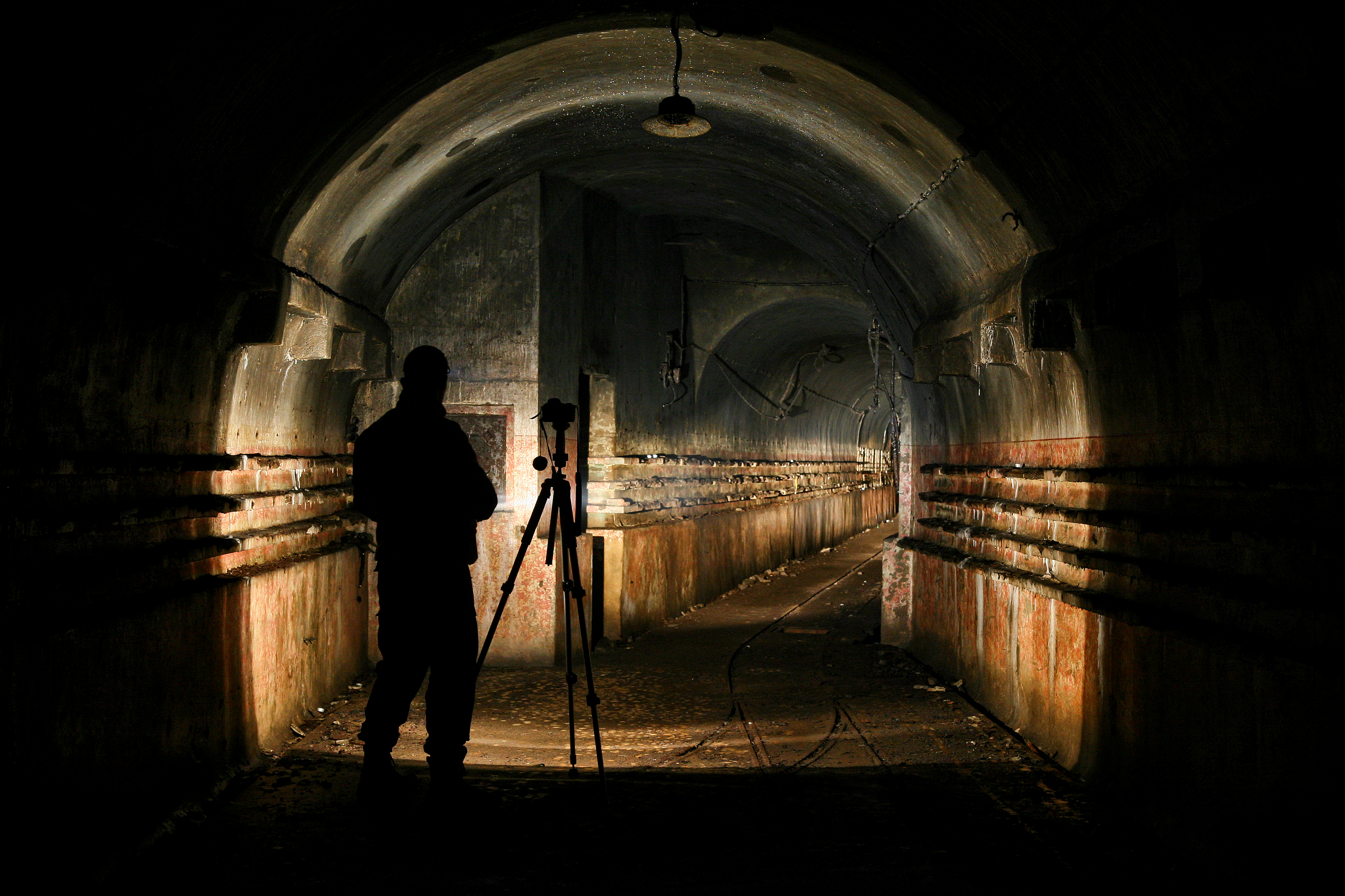
Deutsch: Urban Exploring in verlassenen Bunkeranlagen der Maginot Linie English: Urban Exploring in abandoned bunkers of the Maginot Line |
| Date | |
| Source | Own work |
| Author | Pascal Dihé |
| Attribution (required by the license) | © Pascal Dihé / https://www.dihe.eu / |
| Camera location | | View this and other nearby images on: OpenStreetMap |
|---|
Licensing
Pascal Dihé, the copyright holder of this work, hereby publishes it under the following license:
This file is licensed under the Creative Commons Attribution-Share Alike 4.0 International license.
Attribution: Pascal Dihé / www.dihe.eu / CC BY-SA 4.0
- You are free:
- to share – to copy, distribute and transmit the work
- to remix – to adapt the work
- Under the following conditions:
- attribution – You must give appropriate credit, provide a link to the license, and indicate if changes were made. You may do so in any reasonable manner, but not in any way that suggests the licensor endorses you or your use.
- share alike – If you remix, transform, or build upon the material, you must distribute your contributions under the same or compatible license as the original.
File history
Click on a date/time to view the file as it appeared at that time.
| Date/Time | Thumbnail | Dimensions | User | Comment | |
|---|---|---|---|---|---|
| current | 07:39, 10 February 2019 | | 3,599 × 2,399 (7.84 MB) | Pascal Dihé | replacement with higher resolution version of the same file |
| 18:45, 31 August 2007 |  | 2,250 × 1,500 (1.88 MB) | DrAlzheimer | {{Information |Description=Urban Exploring in verlassenen Bunkeranlagen |Source=[http://gallery.dralzheimer.stylesyndication.de/Lost%20Places/ selbst aufgenommen] |Date=2005 |Author=DrAlzheimer |Permission= |other_versions= }} |
File usage
The following page uses this file:
Global file usage
The following other wikis use this file:
- Usage on de.wikipedia.org
- Usage on fr.wikibooks.org
- Usage on it.wikipedia.org