File:Peloponnese relief map-blank.svg
Jump to navigation
Jump to search

Size of this PNG preview of this SVG file: 766 × 600 pixels. Other resolutions: 307 × 240 pixels | 613 × 480 pixels | 981 × 768 pixels | 1,280 × 1,002 pixels | 2,560 × 2,004 pixels | 2,611 × 2,044 pixels.
Original file (SVG file, nominally 2,611 × 2,044 pixels, file size: 1.97 MB)
| This is a file from the Wikimedia Commons. The description on its description page there is shown below.
Commons is a freely licensed media file repository. You can help. |
Summary
| Description |
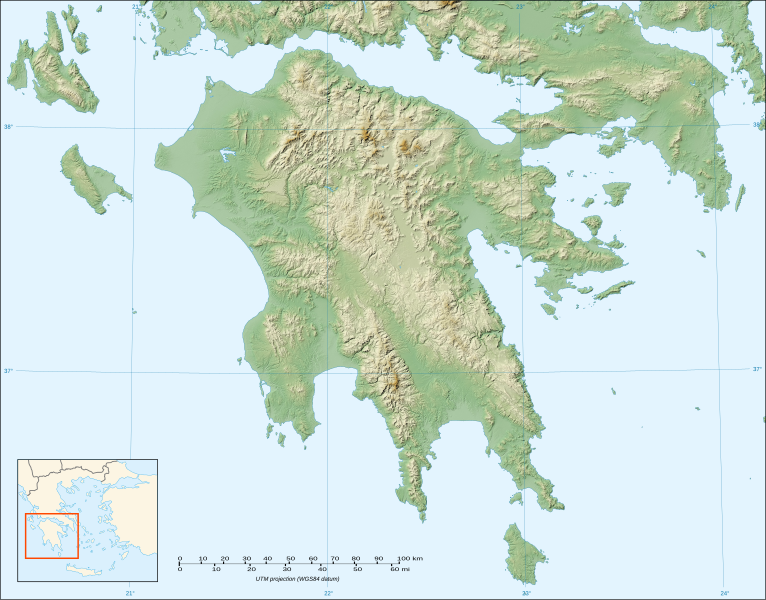
English: Blank map of the relief of Peloponnese, Greece.
Français : Carte vierge du relief du Péloponnèse, Grèce. UTM projection; WGS84 datum; shaded relief (composite image of N-W, W and N lightning positions) |
||
| Date | |||
| Source |
Own work ;
|
||
| Author | Eric Gaba (Sting - fr:Sting) | ||
| Permission (Reusing this file) |
|
||
| Other versions |
|

Licensing
I, the copyright holder of this work, hereby publish it under the following licenses:

|
Permission is granted to copy, distribute and/or modify this document under the terms of the GNU Free Documentation License, Version 1.2 or any later version published by the Free Software Foundation; with no Invariant Sections, no Front-Cover Texts, and no Back-Cover Texts. A copy of the license is included in the section entitled GNU Free Documentation License. |
This file is licensed under the Creative Commons Attribution-Share Alike 3.0 Unported, 2.5 Generic, 2.0 Generic and 1.0 Generic license.
- You are free:
- to share – to copy, distribute and transmit the work
- to remix – to adapt the work
- Under the following conditions:
- attribution – You must give appropriate credit, provide a link to the license, and indicate if changes were made. You may do so in any reasonable manner, but not in any way that suggests the licensor endorses you or your use.
- share alike – If you remix, transform, or build upon the material, you must distribute your contributions under the same or compatible license as the original.
You may select the license of your choice.
File history
Click on a date/time to view the file as it appeared at that time.
| Date/Time | Thumbnail | Dimensions | User | Comment | |
|---|---|---|---|---|---|
| current | 20:32, 18 October 2007 | | 2,611 × 2,044 (1.97 MB) | Sting | {{Information |Description=Blank map of the relief of Peloponnese, Greece |Source=Own work ;<br/>Topographic background map : [http://www2.jpl.nasa.gov/srtm NASA Shuttle Radar Topography Mission] (SRTM3 v.2) (public domain) edited with |
File usage
The following page uses this file:
Global file usage
The following other wikis use this file:
- Usage on ar.wikipedia.org
- Usage on ba.wikipedia.org
- Usage on bs.wikipedia.org
- Usage on ceb.wikipedia.org
- Usage on de.wikipedia.org
- Usage on el.wikipedia.org
- Usage on en.wikipedia.org
- Usage on eo.wikipedia.org
- Usage on es.wikipedia.org
- Ménalo (monte)
- Canal de Corinto
- Monte Taigeto
- Monte Erimanto
- Plantilla:Mapa de localización de Peloponeso
- Río Peneo (Peloponeso)
- Estínfalo (Arcadia)
- Cueva de Néstor
- Vouraikos
- Aroania
- Cueva de los Lagos
- Skollis
- Monte Afrodisio
- Necrópolis micénica de Aidonia
- Korakou (Corinto)
- Bosque de Folói
- Cueva de Alepotrypa
- Santuario de Poseidón (Ténaro)
View more global usage of this file.